

GTA 6 Community Map Project Reaches Major Milestone With Version 12 Update
Fans behind the Leonida mapping effort refine roads, coastlines, industrial zones, and key story locations ahead of Rockstar’s next trailer.
News by Warlord on May 14, 2026
The GTA 6 community mapping project has hit another major milestone with the release of Version 12, and the latest update shows just how far the fan-made recreation of Leonida has come before Rockstar has even launched the game. If you've been following the project, you already know the amount of work going into it is massive.
The team behind the map has spent months breaking down trailer footage frame by frame, studying coordinates, matching landmarks, comparing screenshots, and running projection work just to build the clearest possible version of GTA 6's world ahead of release. What started as speculation has slowly turned into something surprisingly detailed, and Version 12 feels like one of the biggest refinement passes yet.
According to the team, this update is considered one of the final major touches before Rockstar releases another trailer or more official footage. Instead of making dramatic changes across the entire state, the update focuses heavily on refining locations, correcting road placement, and turning previously speculative areas into confirmed sections based on footage analysis.
One of the more noticeable updates happens in Port Gellhorn.
The team added a large oil refinery inspired by real industrial facilities located in similar parts of Florida. Interestingly, the creators mentioned that these structures could have appeared in earlier versions of the map, but they only made it into the project now with Version 12.
Another area in Port Gellhorn also shifted from speculative to confirmed status after the team matched a scene from official footage directly to that location. That kind of confirmation matters a lot in a project like this because every verified landmark helps lock down the rest of the surrounding map.
The terrain surrounding the city also received adjustments. Hills and elevation around Port Gellhorn were reworked so the environment reads more naturally and feels less exaggerated from a top-down perspective. Ambrosia received several refinements as well, especially around the Allied Crystal Refinery. More structures were added to the industrial complex, while the surrounding ground textures were darkened to make the entire area look more like a heavy industrial zone.
Before the change, the refinery area did not stand out visually as much as it probably should have.
The town's main street also gained several speculative buildings based on low-light footage pulled from nighttime screenshots. The team apparently squeezed as much detail as possible from those scenes to estimate what could realistically fit there.
Lake Leonida also saw adjustments based on updated projection data. The lake, which is inspired by Florida's Lake Okeechobee, now appears shallower and more accurate in scale compared to earlier versions of the map.
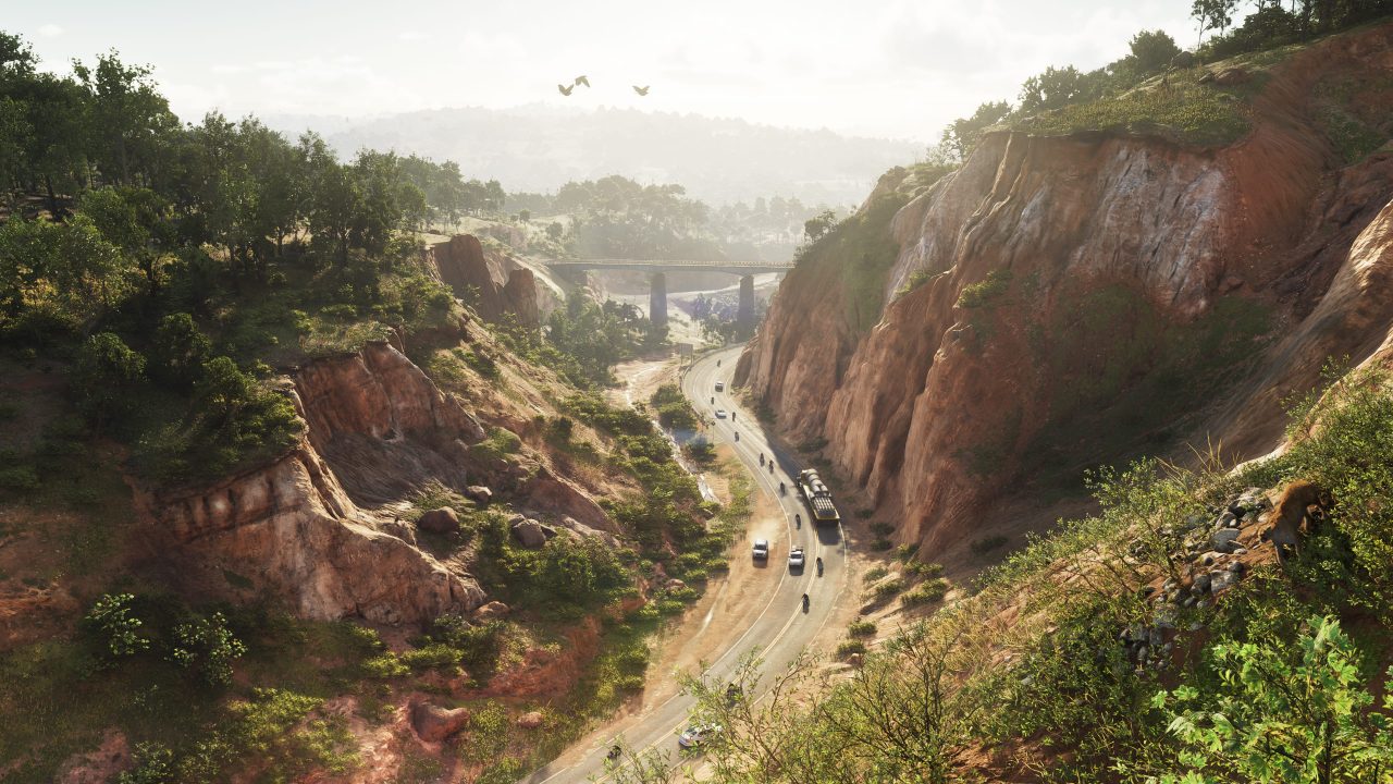
Further north, Mount Kalaga received important road corrections. Using two separate scenes from official footage, the team identified recognizable landmarks, tied them to coordinates, and adjusted road placement to better match the terrain. Even though road corrections may sound minor on paper, they are a huge deal for a project built entirely around spatial accuracy. Once roads line up properly, everything surrounding them starts making more sense too.
Mount Kalaga itself still remains one of the more speculative parts of the map overall. A large portion of its wilderness area is still being pieced together through guesses and projection work, but these latest corrections help tighten the region considerably.
Vice City also received a substantial amount of refinement in Version 12.
The Venetian Islands on the eastern side of the city were repositioned slightly after updated projection work gave the team a more accurate understanding of how the islands should sit relative to the mainland. Route 10 was also shifted south, and the way the team figured that out is one of the more impressive details in the entire update.
Using the City View parking garage, which had already been confirmed through official footage, the team triangulated the proper location of Route 10 from that single landmark. That same correction also led to the interchange between I-97 and Route 10 being scaled down because previous versions had made the highway junction too large.
In the design district north of Route 10, new speculative buildings were added based on footage from the leaks, helping the area feel denser and more complete than before.
The eastern coastline of Vice City also changed, although this update was more about pulling things back rather than expanding them. Over multiple versions of the map, the coastline had gradually pushed farther outward, but Version 12 reverses that trend. The coast is now flatter because the official footage supports a flatter shoreline more accurately. That change highlights something important about the entire project. The map is constantly evolving, and the team is willing to undo older assumptions whenever new evidence appears.
The southern part of Leonida also received several refinements. The Keys were adjusted overall, with islands shifting slightly as projection accuracy continues to improve. Nothing was dramatically incorrect before, but the newer data helped tighten the entire region.
.jpg)
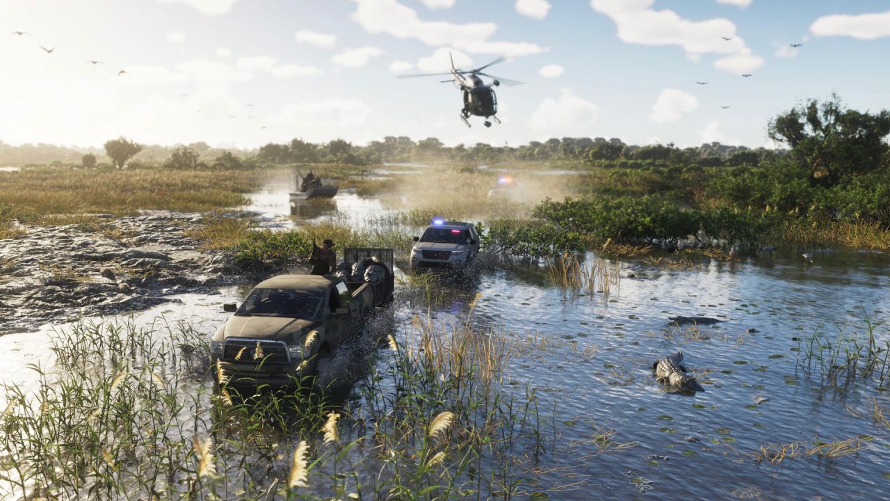
Kento specifically received updated road layouts around its main island. That location matters quite a bit because it appears closely connected to Jason's storyline in GTA 6. The Grass Rivers area may have received one of the more interesting environmental changes in the update. The swamp territory around Watson Bay was pushed further inland, making the wetlands noticeably larger than previous map versions suggested.
Considering how massive the Everglades are in real-life Florida, it now looks increasingly likely that Rockstar's version of the swamps will reflect that same scale.
Hamlet also saw a major infrastructure correction after the team finally figured out how the highway connects into the city. Using a single overpass visible in official footage, they were able to confirm the exact road connection point. It is another example of how even one frame from a trailer can completely reshape sections of the map.
Version 12 ultimately feels less like a flashy overhaul and more like the result of countless hours of careful refinement. Every altered road, every adjusted coastline, and every new validated spot is a testament to the amount of dedication that the community has put into rebuilding Leonida before Rockstar officially unlocks the doors for GTA 6.
Senior Editor, NoobFeed
Related News
No Data.